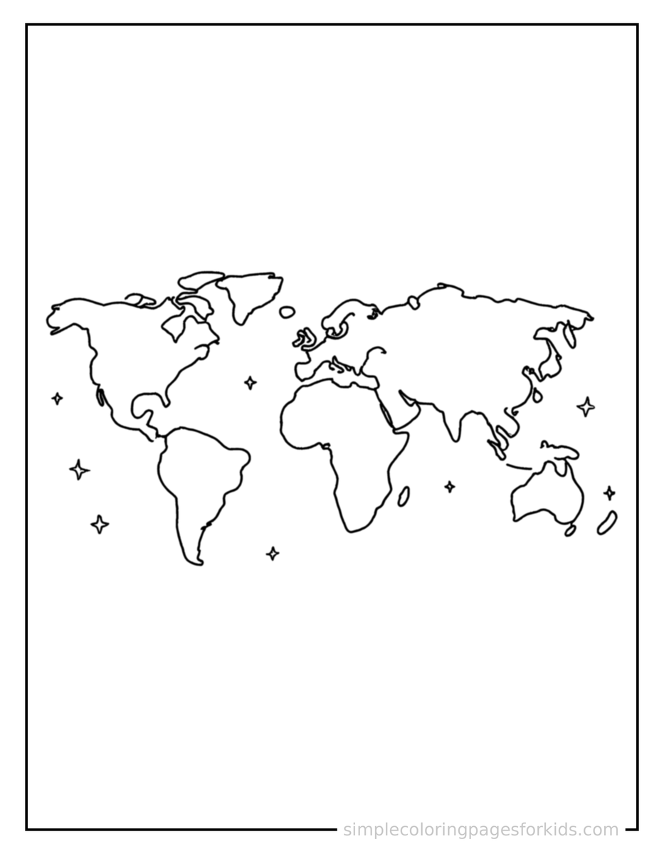
Sparkling Continents Of The World Map Coloring Page
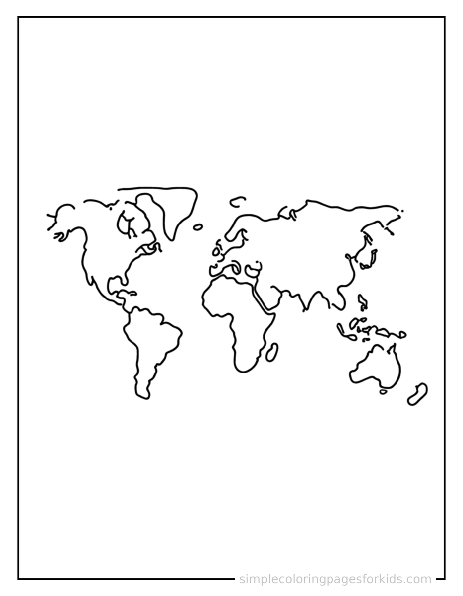
Looking for a calm, screen-free activity for Ages 4–8? This Continents Of The World Map coloring page gives kids a cute continents of the world map, shown from a slightly different angle with small decorative sparkle marks nearby to color in, with bold lines and open spaces sized right for little hands. Print the free PDF at home and hand out crayons or colored pencils -- no prep needed. Beyond the fun, coloring builds fine motor skills, hand-eye coordination, pencil control, early learning, visual discrimination. Try teaching Europe, Antarctica, Australia while your child colors, and share this: Asia is the largest continent and is home to more than half of the world's people.
High-resolution printable, sized for US Letter & A4. Free for personal and classroom use.
More Continents Of The World Map Coloring Pages
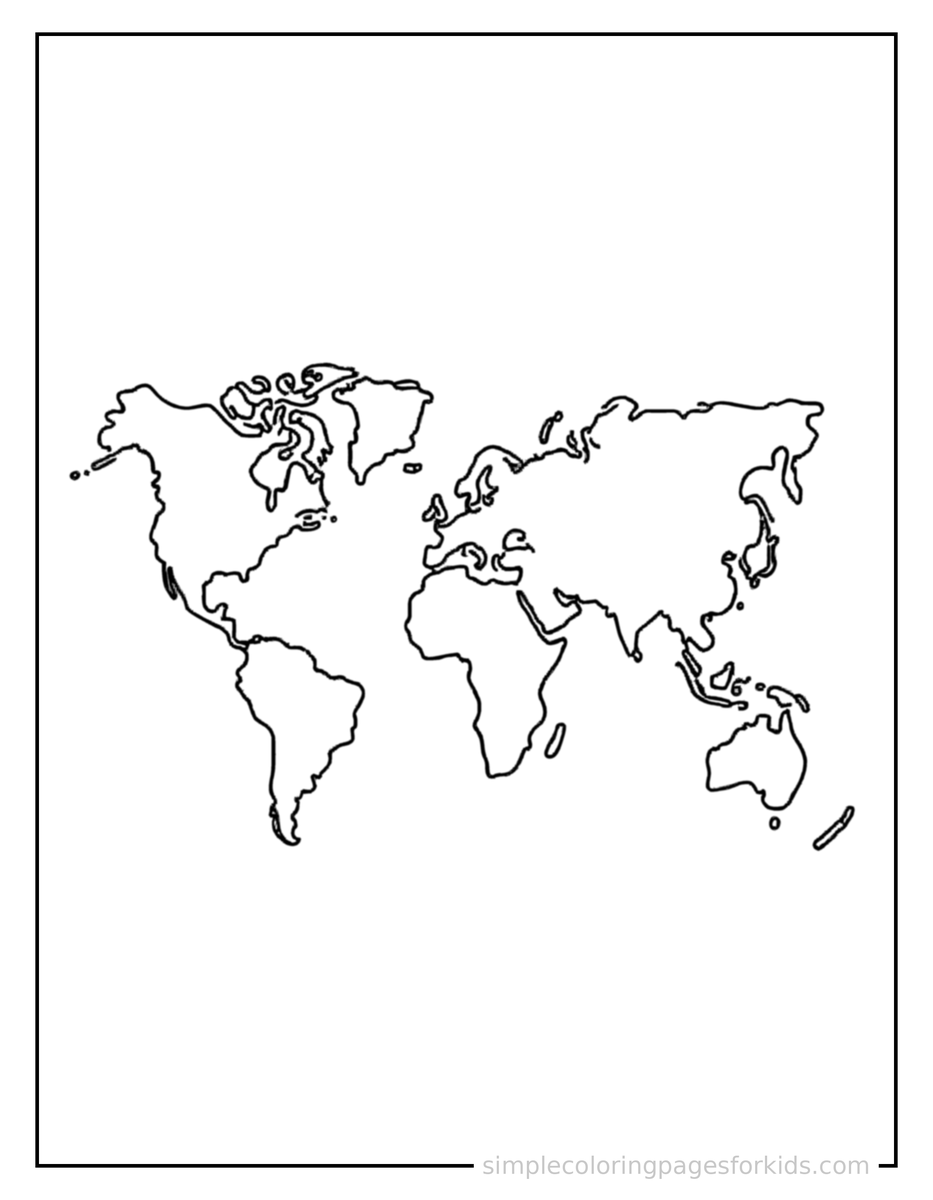
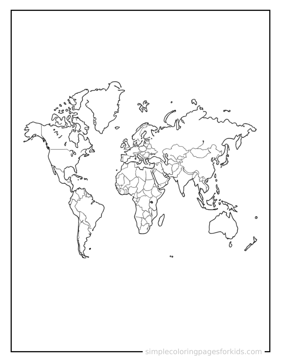
Asia is the largest continent and is home to more than half of the world's people.