Coloring Scene 4 World Map With Countries Coloring Page

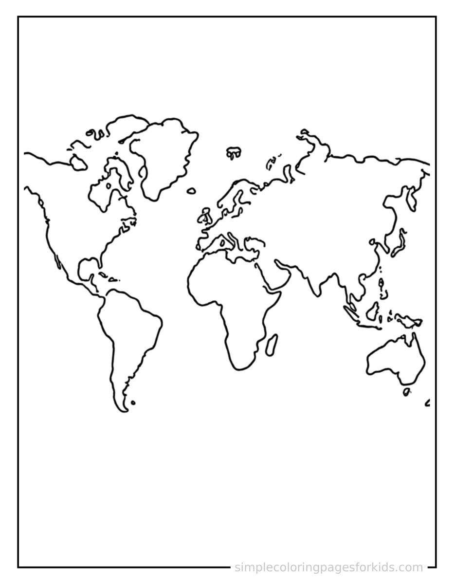
Need a ready-to-go activity for Ages 4–8? This World Map With Countries coloring page is one you can use right away: download the free PDF, print it on Letter or A4 paper, and you're set for preschool centers or kindergarten art tables. The scene features a cute world map with countries, decorated with a simple bow or ribbon for a festive touch, giving children a clear, engaging subject to color. This kind of hands-on task strengthens fine motor skills, hand-eye coordination, pencil control, early learning, visual discrimination while building vocabulary -- try country, border, ocean as a quick language moment. A globe is a round model of Earth, while a map shows the world flattened out.
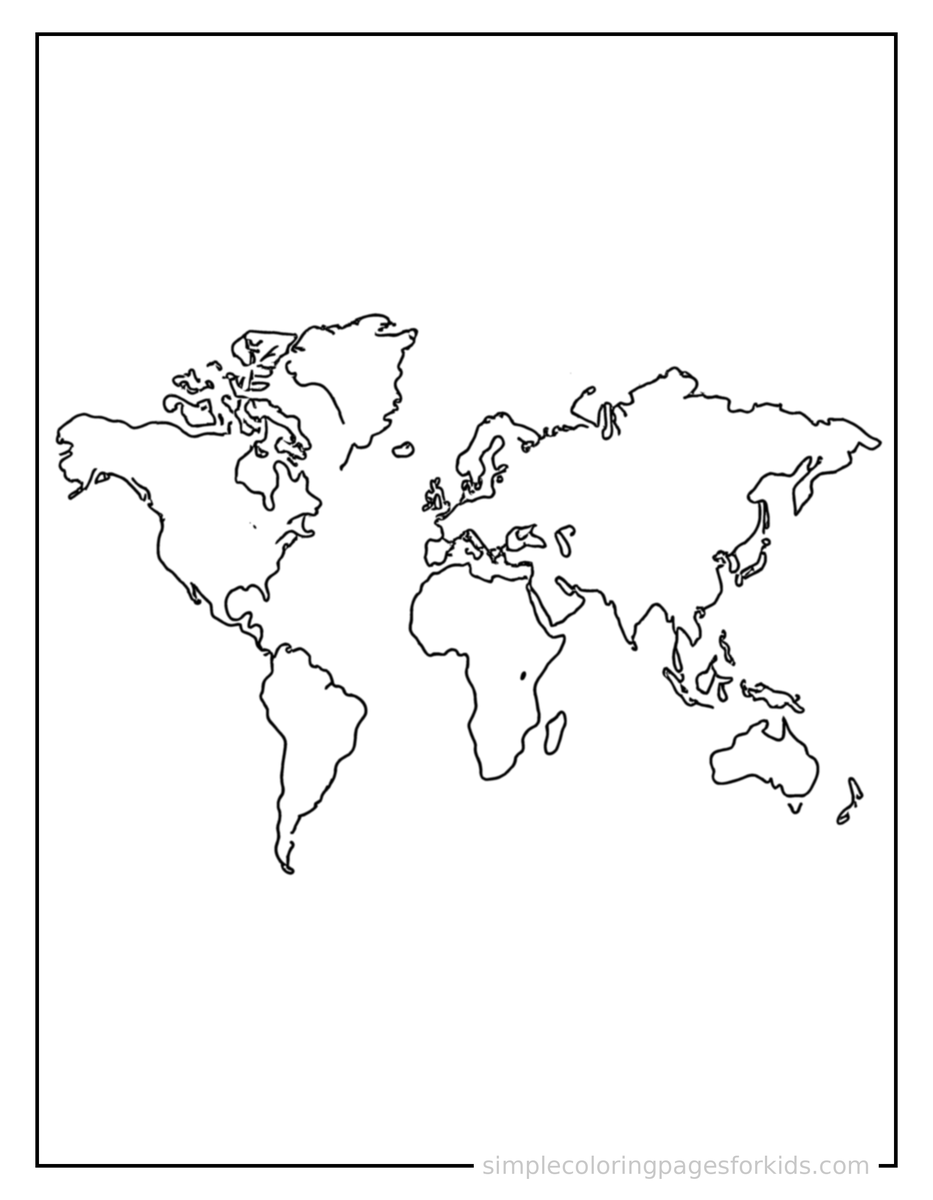
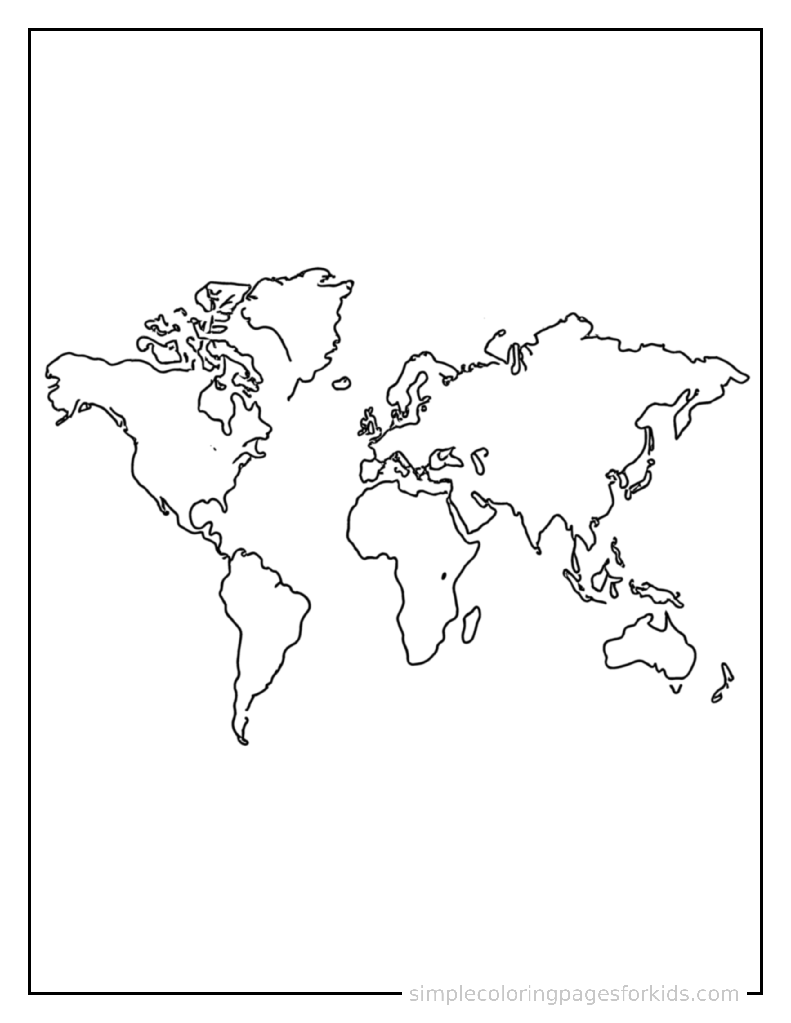
Free printable world map with countries coloring page featuring a cute world map with countries, decorated with a simple bow or ribbon for a festive touch.
← Coloring Scene 3 World Map With Countries Coloring Page
Part of World Map With Countries Coloring Pages
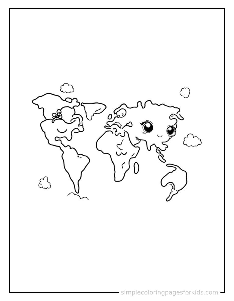
High-resolution printable, sized for US Letter & A4. Free for personal and classroom use.

Download Coloring Scene 4 World Map With Countries Coloring Page PDF Download Coloring Scene 4 World Map With Countries Coloring Page PNG

More World Map With Countries Coloring Pages
Smiling World Map With Countries Coloring Page Sparkling World Map With Countries Coloring Page Coloring Scene 3 World Map With Countries Coloring Page Coloring Scene 4 World Map With Countries Coloring Page
Learn 3 New Words
country border ocean
Fun Fact

A globe is a round model of Earth, while a map shows the world flattened out.

Want the whole set?
See all 4 World Map With Countries Coloring Pages pages
View World Map With Countries Coloring Pages

Related Coloring Pages

Simple Fractions Pie Chart Coloring Pages
12 pages
3D Shapes Like A Cube And Sphere Coloring Pages
12 pages
Basic Geometry Shapes Chart Coloring Pages
12 pages
Day And Night Comparison Coloring Pages
12 pages